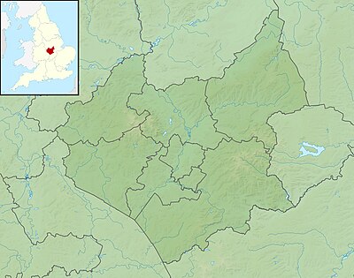
Templat:Location map United Kingdom Leicestershire

| ||||
| nama | Leicestershire | |||
|---|---|---|---|---|
| koordinat perbatasan | ||||
| 53.00 | ||||
| -1.80 | ←↕→ | -0.50 | ||
| 52.36 | ||||
| titik pusat peta | 52°41′N 1°09′W / 52.68°N 1.15°W | |||
| gambar | Leicestershire UK location map.svg | |||
| image1 | Leicestershire UK relief location map.jpg | |||

| ||||